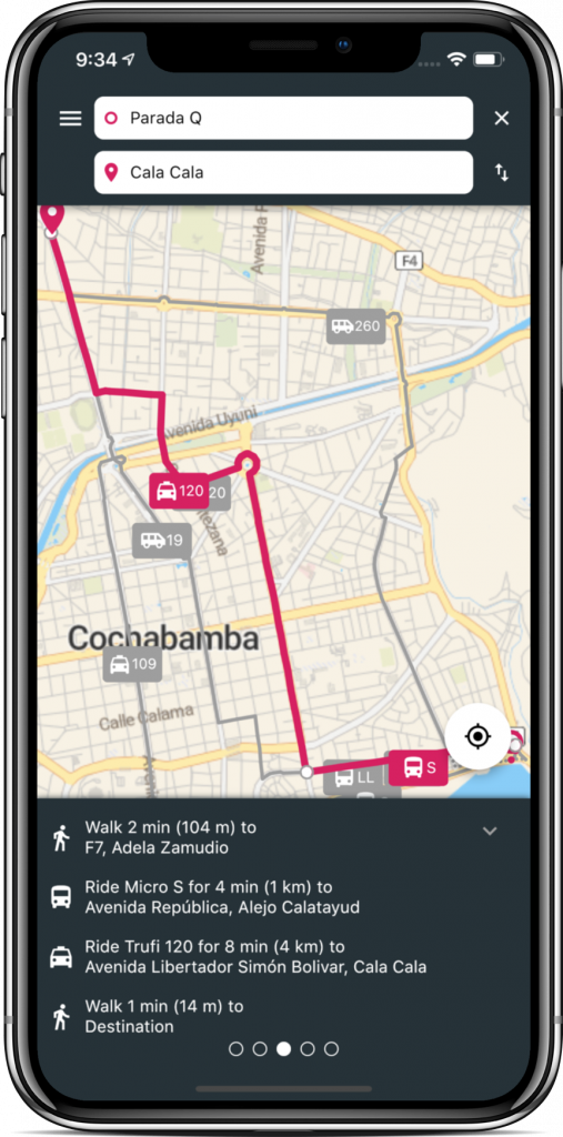
A cross-plattform multi-modal public transport app based on open data. Built in Flutter by the Trufi Association, a social startup.
The mobile application is currently available for the following cities:
- Cochabamba, Bolivia - Website, Google Play, App Store
- Accra, Ghana - Website, Google Play, App Store
Please contact the Trufi Association to get one for your city, too.
Trufi Core is the base dependency used to create your public transport app. Have a look at the example implementation that contains further instructions.
Do not modify the files in /translations they are managed from Lokalise. If you need to update the translations checkout the Translations Update Guide Please reach out to the Contributers to get access.
If you need to overwrite translations of the Host app checkout the following article here.
osm-search-data-export - Generates offline search data that includes POIs, streets and street junctions. The app currently uses the json-compact format.
osm-public-transport-export - Fetches OSM data and generates GeoJSON and additional files.
geojson-to-gtfs - Turns generated GeoJSON and additional data into GTFS.
gtfs-bolivia-cochabamba - Config package that internally uses osm-public-transport-export and geojson-to-gtfs to generate a GTFS file to be used in OTP. Use this as a template to generate your own GTFS.
OpenTripPlanner - Trip planning server that uses GTFS feeds for routing.
Copyright 2020 - Trufi Association
This program is free software: you can redistribute it and/or modify it under the terms of the GNU General Public License version 3 as published by the Free Software Foundation. This program is distributed in the hope that it will be useful, but WITHOUT ANY WARRANTY; without even the implied warranty of MERCHANTABILITY or FITNESS FOR A PARTICULAR PURPOSE. See the GNU General Public License for more details.
Big thanks to Lokalise for supporting our localization efforts with a free Open Source Enterprise plan.
Thanks to the FMI - Finnish Meteorological Institute for the Open Weather Data


