This tool can be used to georeference and extract Declass3 preview imagery (.tif) from the USGS EarthExplorer website.
The script relies on the input of a metadata .csv file that can be optained from the EarthExplorer website. The CSV file contains the metadata needed for the georeferencing section of the tool.
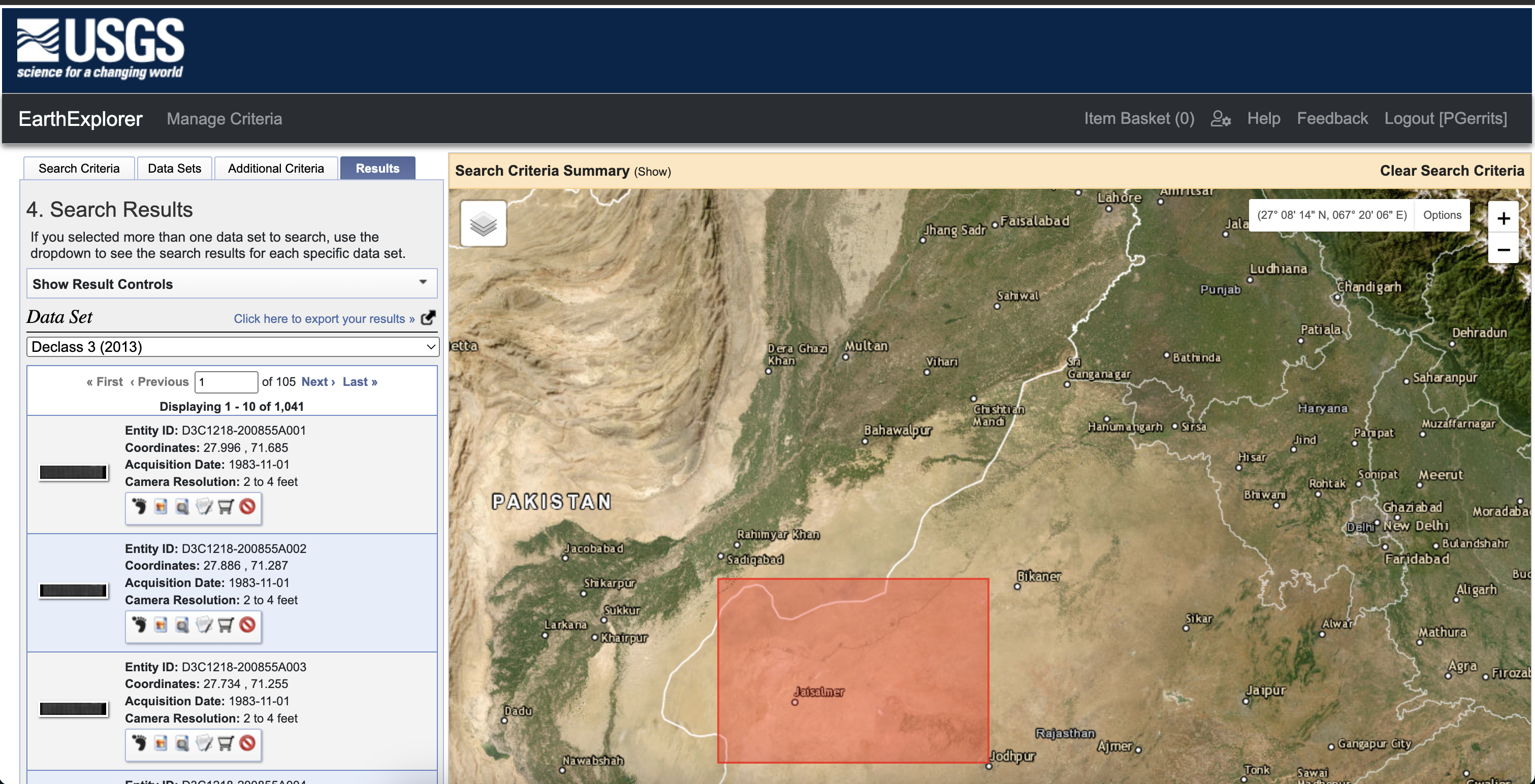
To obtain the csv file, please login to the EarthExplorer website and specify your area of interest. After specifying the area of interest, press "Click here to export your results" to download the available declass3 imagery. Please make sure to select as .csv file. See image below for an example.