Features
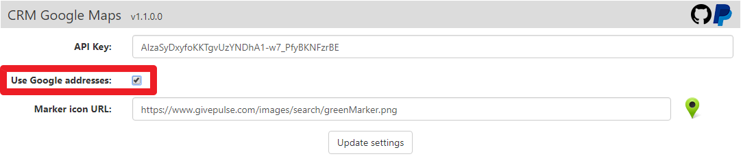 You can set this flag to checked if you want to use addresses that Google found by using your address field(s).
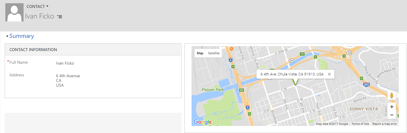
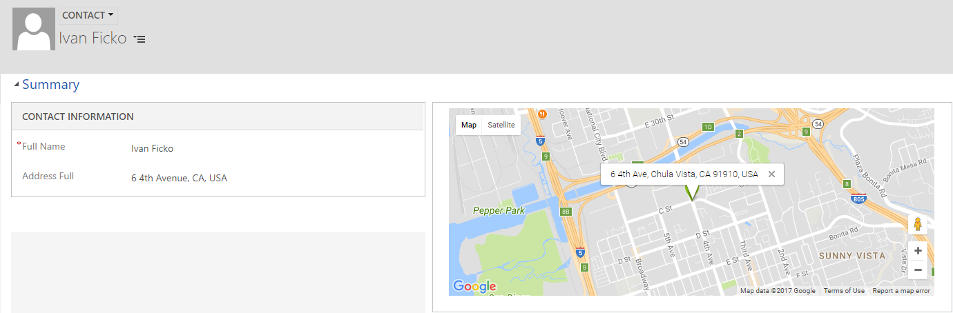
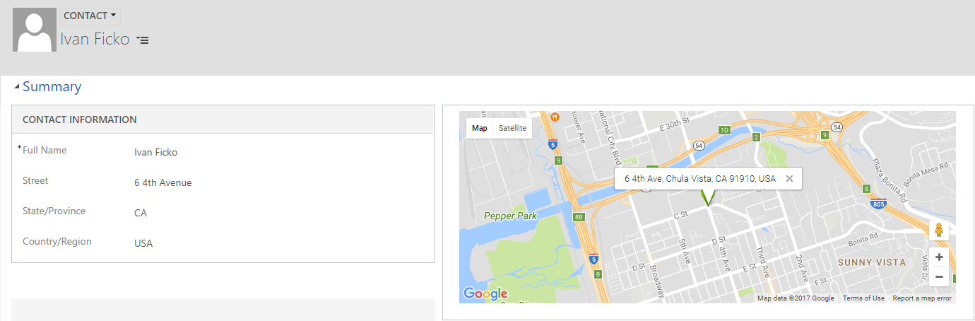
You have typed 4th Avenue, NYC in your address field and then when your address is shown on the map with "Use Google addresses" checked will result in 4th Ave New York, NY 10003 on the marker, otherwise it will show 4th Avenue, NYC on the marker.
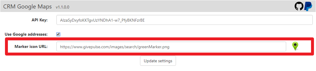 You can change default marker icon by passing the URL link to the image that is small in size (32px x 32px is maximum recommended). You need to keep in mind that there is no image scaling, the image will be shown on the map in original size so please don't use large icons.
There are 3 types of address parameters that can be passed to the Google Maps web resource:
- Composite address field (OOB CRM address field)
- All in one address field
- Multiple fields address
You can use OOB composite address field (eg. address1_composite,address2_composite,address2_composite) by typing address=address1_composite in the custom parameters text area.
 You can use all in one address field by passing the
 address=new_full_address_field_name in the custom parameters text area.
 You can use multiple fields for the same address separated by parts (eg. street field, country field, zip code field,..) by passing parameters joined by + sign in custom in the custom parameters text area like
 address=new_street+new_country+new_zip
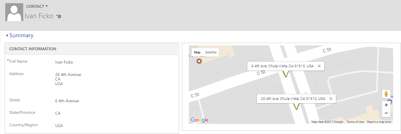 You can use methods shown above to add multiple addresses on a map by passing addresses joined by colon (,) sign like
 address=address1_composite,new_street+new_country+new_zip,new_full_address_field_name
You can define zoom level for each map by passing the zoom parameter zoom=5 in the web resource parameters. Zoom level will be relevant only if you have only 1 marker on the map. Otherwise, for multiple markers, optimal zoom level will be calculated based on marker positions. Zoom values must be in range 1-20.