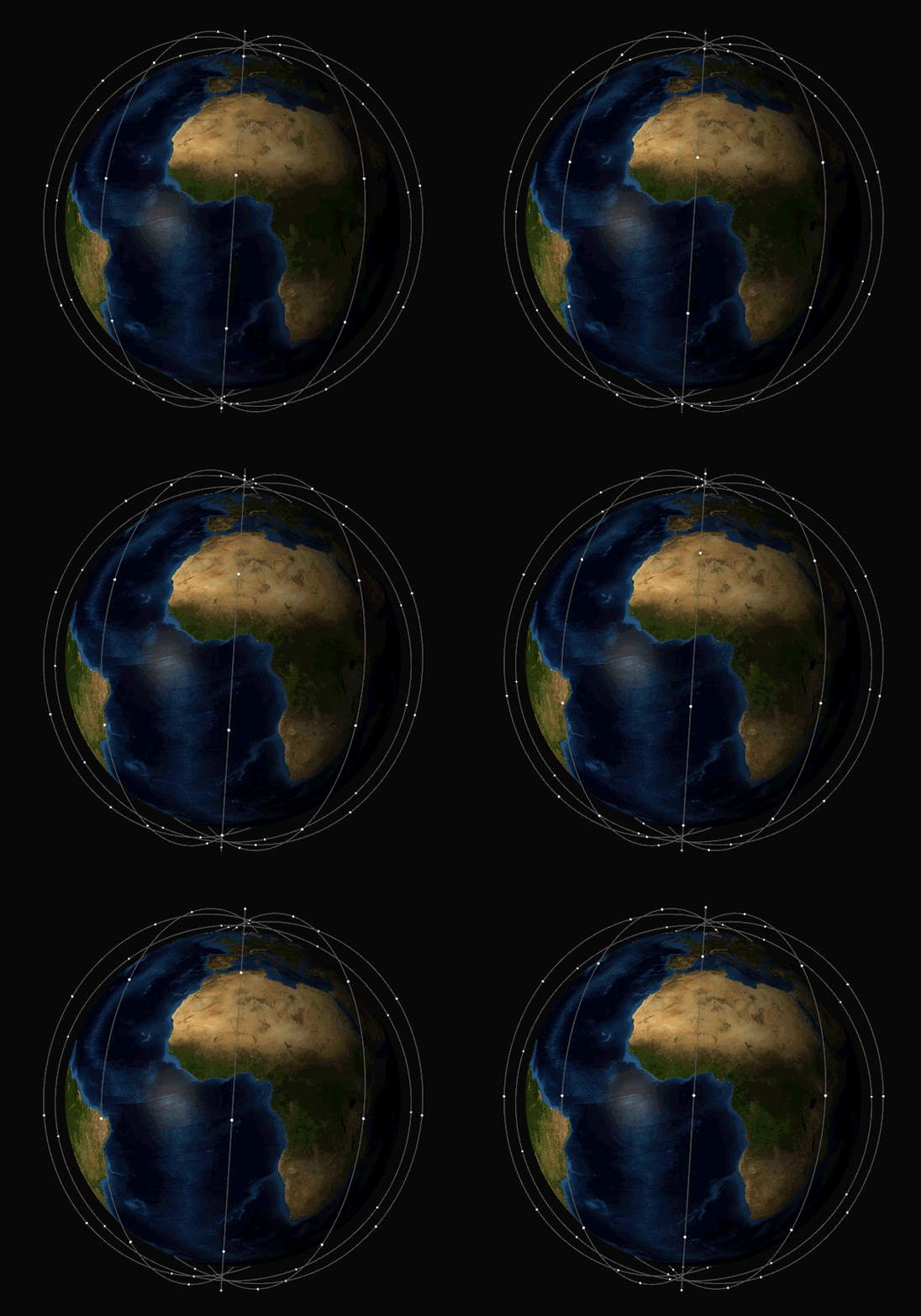
A library to visualize (keplerian) orbital movements of a satellite network in 3D using OpenGL® 3.3.
Optimization algorithms to minimize the time needed to perform a set of scheduled intersatellite communications are implemented. In particular, the central mass as an obstacle and the necessary turn costs of the satellites are taken into account (algorithmic problem: Dynamic Minimum Scan Cover).
...
This repository contains submodules for external dependencies. When doing a fresh clone, make sure you clone recursively:
git clone --recursive https://github.com/mc-thulu/dmsc-visualizer.git
Updating an already cloned repository:
git submodule init
git submodule update
- OpenGL Mathematics (GLM) - https://github.com/g-truc/glm
- GLFW - https://github.com/glfw/glfw
- Dear ImGui - https://github.com/ocornut/imgui
- stb - https://github.com/nothings/stb
soon ...
The provided real world instances are based on the idealized structure of the corresponding satellite constellation. In particular, the state vectors do not correspond to a more precisely specified point in (real)time. All instances do not contain any intersatellite links.
| instance | # satellites | orbital altitude |
|---|---|---|
| Galileo | 30 | 23.222 km (MEO) |
| Iridium Next | 66 | 780 km (LEO) |
- The textures used for the earth are from NASA - Visible Earth
- OpenGL is a trademark of the Khronos Group Inc.
